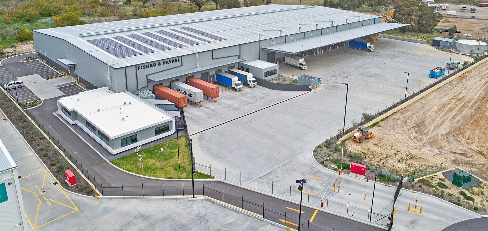
 Tactics of high performing asset managers
A nationwide benchmarking study from a North American industrial and commercial real estate...
Read more
Tactics of high performing asset managers
A nationwide benchmarking study from a North American industrial and commercial real estate...
Read more
Measure Australia News
Tactics of high performing asset managers
A nationwide benchmarking study from a North American industrial and commercial real estate...
Read more
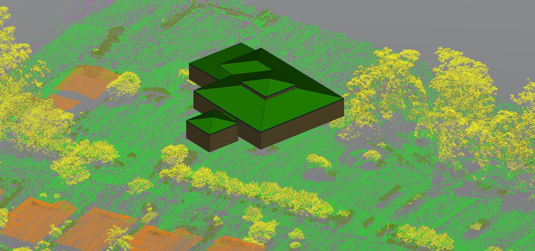 Creating Buildings from Aerial LiDAR
Surveyors, Investors, contractors, architects, and real estate agents often turn to LiDAR to...
Read more
Creating Buildings from Aerial LiDAR
Surveyors, Investors, contractors, architects, and real estate agents often turn to LiDAR to...
Read more
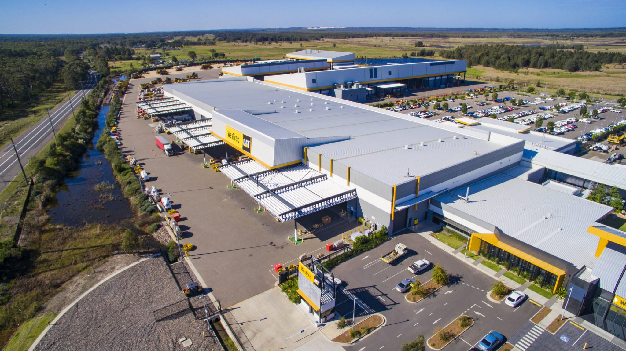 Online Asset Management for Remote Infrastructure
Sharpen Your Asset Portfolio with High-Quality Information From dangerous heights and hazardous...
Read more
Online Asset Management for Remote Infrastructure
Sharpen Your Asset Portfolio with High-Quality Information From dangerous heights and hazardous...
Read more
 Benefits of using Drones to conduct Thermal Inspections
Introduction While there are always risks in anything related to construction or infrastructure...
Read more
Benefits of using Drones to conduct Thermal Inspections
Introduction While there are always risks in anything related to construction or infrastructure...
Read more
 Night Inspections Using Artificial Lighting
As part of Measure Australia’s technological leadership, a focus is placed on ground breaking and...
Read more
Night Inspections Using Artificial Lighting
As part of Measure Australia’s technological leadership, a focus is placed on ground breaking and...
Read more
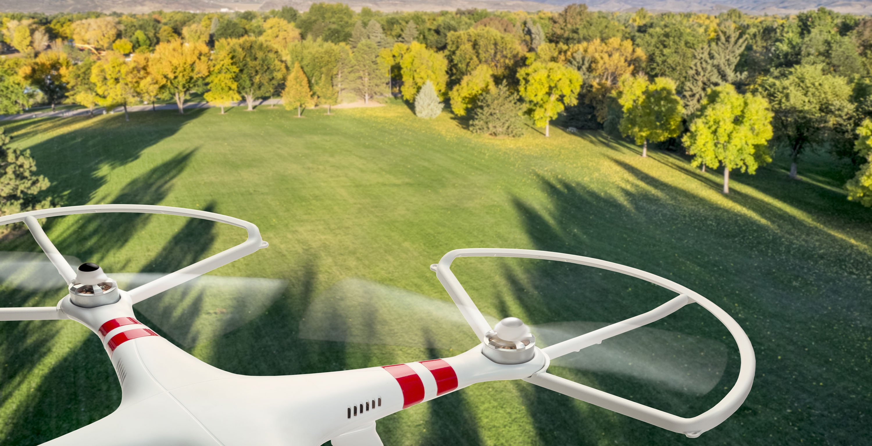
 The Benefits of Drones in Commercial Real Estate
Drones and other unmanned systems have become increasingly popular in recent years, both...
Read more
The Benefits of Drones in Commercial Real Estate
Drones and other unmanned systems have become increasingly popular in recent years, both...
Read more