Main menu
Services
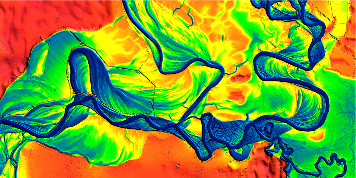
LiDAR Laser Surveying
Accurate and precise data capture
Drone Asset, Building & Roof Inspections
Optimise asset value and lifecycle
Beyond Visual Line of Sight - BVLOS
Capture data Beyond Visual Line of Sight
Drone Aerial Mapping & Land Surveying
Avoid hazardous locations and arduous environments
View All Services
Industries
Agriculture
Quantify crop health, manage water stress, & create spraying & application prescriptions, uploadable to smart equipment.
Resources
Manage extraction volumes, quantify stockpiles & monitor change through 3D site measurements & periodic pickups.
Insurance
Reduce time for assessments & payouts through technological advancements, quality service including meeting all time-to-site requirements, & maintain records.
Construction
Comprehensive drone data solutions reduce risks to construction companies through auditable & defensible visual records.
Infrastructure
Engineered data & specialist reports allow whole-of-asset management, reducing operating costs & increasing efficiencies.
Property
Improve property management operations and decrease cost for better portfolio management and performance optimisation.
View All Industries
Case Studies
Snowy Hydro finds a better way to protect critical infrastructure
Snowy Hydro, one of Australia's most iconic hydro-electric networks, transformed its infrastructure protection strategy by adopting drone-based LiDAR technology. Partnering with Measure Australia and Asseti, Snowy Hydro enhanced safety, improved data accuracy, and streamlined vegetation management—eliminating the risks and costs associated with helicopter inspections.
Solar Power Plant Operator
CitiSurv Land Surveyors
Shellharbour City Council
View All Case Studies
About
News
Contact Us
1300 200 014
LiDAR Sample Video
LiDAR Sample Video
LiDAR screen capture, construction
Measure Australia captured extremely high-resolution LiDAR, thermal imagery and photography during the WestConnex infrastructure project.
Hear what our customers say
Get in touch with Measure Australia
Measure Australia News
Measure Australia Launches NEW Riegl Mapping System
Measure Australia is pleased to share that we have added another LiDAR laser survey system to our...
Read more
IoT Hub: IoT on drone operator's radar
Measure Australia - which touts itself as a ‘drone as a service’ company - uses unmanned aerial...
Read more
Measure Australia acquires Droneworx and appoints new Chief Pilot
Measure Australia, Australia’s largest drone service provider, has acquired Droneworx Pty Ltd, a...
Read more
Sign In
Don't have an account?
Register now
.
Keep me signed in
Rest Password
Create Your Account
Already have an account?
Sign In
.
I agree to the
terms & conditions
Forgot your password?
Tell us your email address, and we'll get you back on track in no time.
Back to sign in
Check your inbox for reset instructions, and pick a fresh new password