LiDAR Laser Surveying
Advanced light detection and ranging (LiDAR) land surveys offer numerous advantages over other techniques.
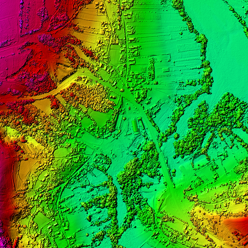
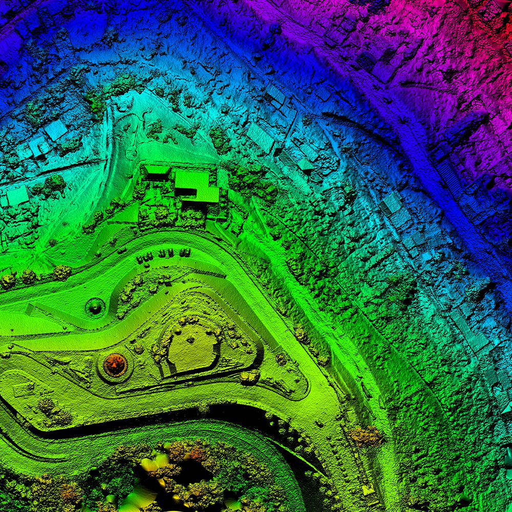
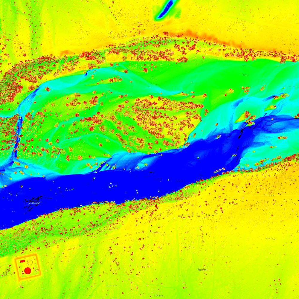
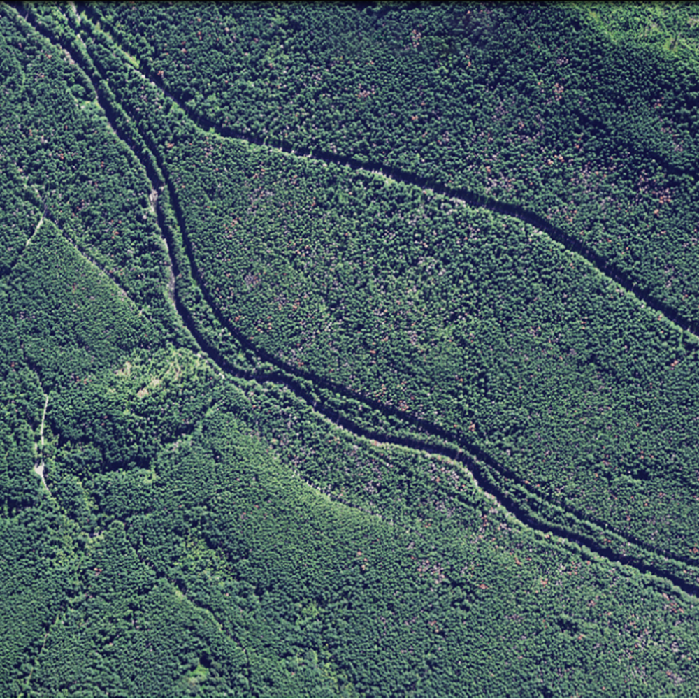
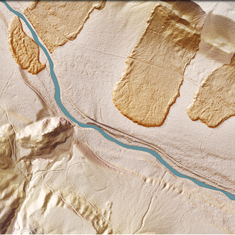
Also known as laser scanning, this technology provides extremely precise control and visualisation through dense point clouds. With cutting-edge drone technology, LiDAR enables laser pulses to penetrate dense vegetation in order to reach the ground surface. This technology is ideal for terrain modelling, works perfectly in low-light conditions, and offers a distinct advantage over photogrammetry. While photogrammetry can deliver a reconstructed digital surface model (DSM), only LiDAR can deliver accurate and survey-grade DSMs and digital terrain models (DSM).
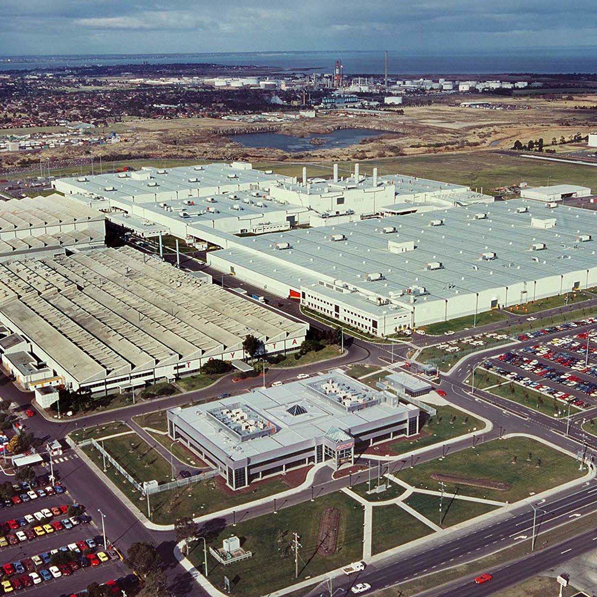
Our use of UAS (unmanned aerial systems) with LiDAR enables highly accurate terrestrial surveying, land surveying, and topographical mapping among other services. Ideal for easement assessments or land surveying, laser scanning is the fastest and most affordable way to survey difficult terrain. We can deliver terrain data in a number of practical formats, including LAS/LAZ laser point clouds, 3D models, DXF/DWG vector files, ground contours, TIN, etc.
Advanced laser technology
Not all LiDAR systems are created equally, with precision hardware needed to create high-resolution models. MA has the most advanced LiDAR available in Australia and the region, plus the highly experienced pilot network necessary to deliver high-quality laser surveys when and where you need them.
Cost effective service
Australia-wide service
Data transformation & output
The information collected with LiDAR is only useful when it’s translated and presented in a clear and concise fashion. This requires precision processing by experienced specialists.
MA brings data in from the field and delivers fast, high-quality processing.
End-to-end best practice
The power of 3D and 4D
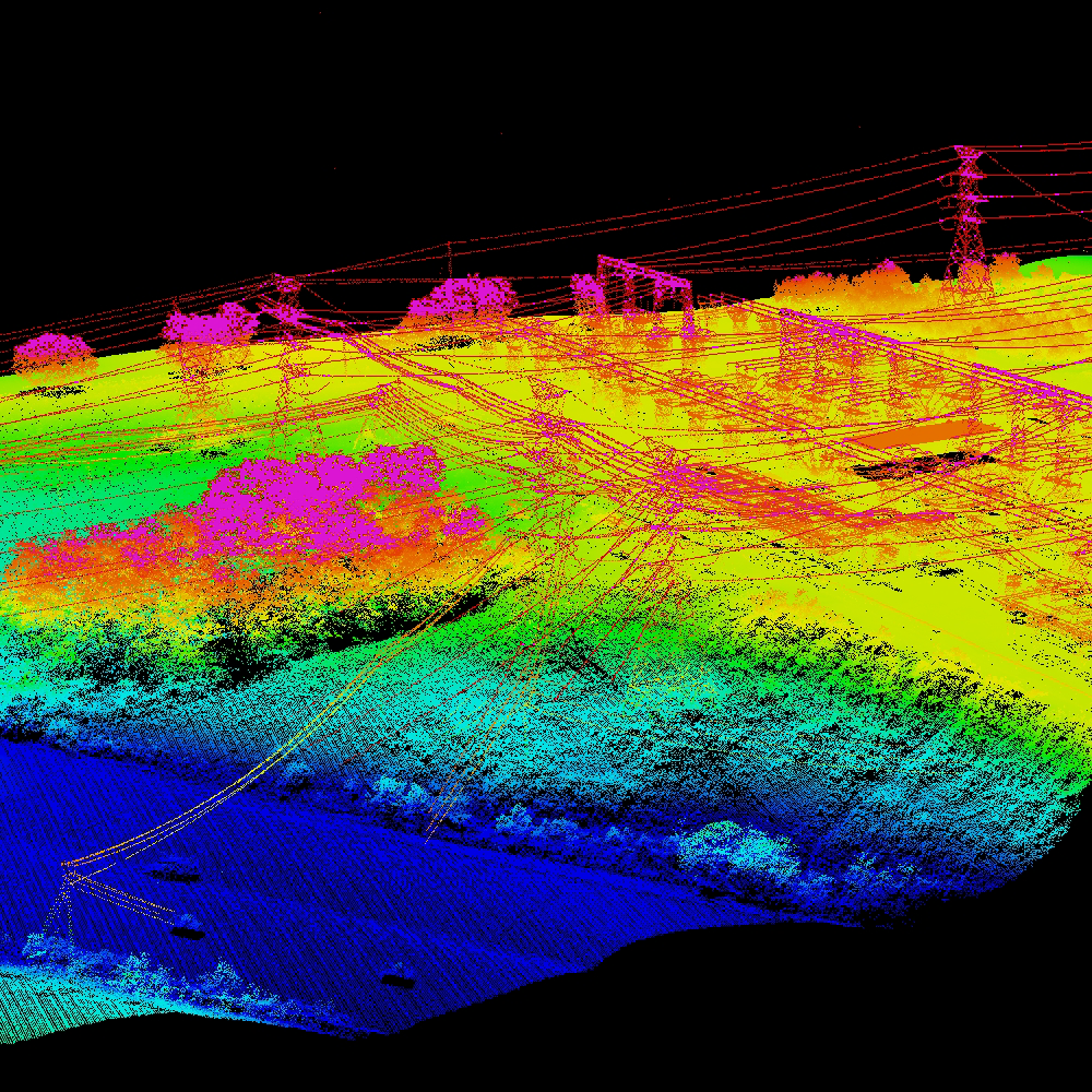
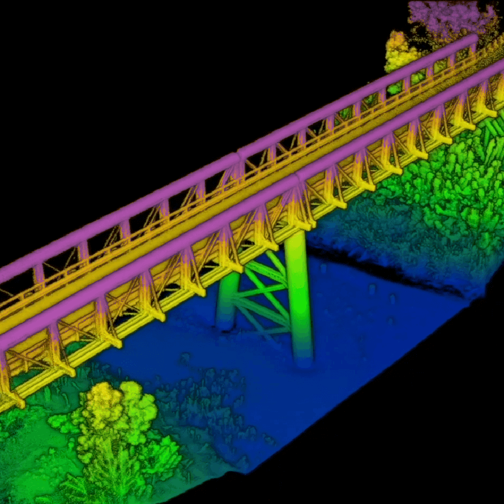
MA utilises LiDAR to create a complete 3D geospatial picture of the target, which is valuable for a variety of purposes including city planners, facility managers, asset network operators and all circumstances in which a fully realised 3D model facilitates better decision-making. MA's survey and ongoing data capture can be used with digital twin technology.
Versatile capture & conditions
Survey method tool
MA has built a tool to help you decide the most efficient method for your next survey. Enter details on your required output and conditions in the survey area, and MA will deliver a recommendation on ideal survey method plus a bespoke survey capture report based on your answers.
Try this free tool to discover the best capture method for your next survey.

Customised report for your requirements