Property Portfolio Drone Solutions
Note: this page is about property management - see our real estate business unit here.
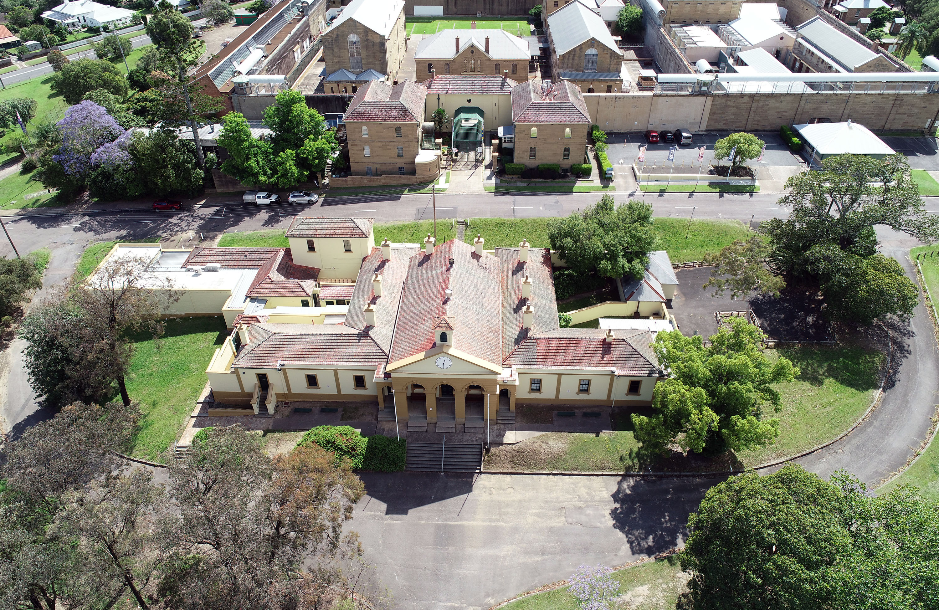
Property condition management is an integral part of asset portfolio management, performance optimisation, and value creation.
It is also very time-consuming – however, modern technologies provide a more efficient way to do the same job more economically. Really, to do a better job more economically!
Traditional property portfolio management
Traditionally, property inspections have been undertaken manually by people with experience and training (but no qualifications). This includes:
- Structural integrity; evaluating rooves, gutters, windows, and building facades.
- Attending site and climbing to the roof
- Using elevated works platforms (EWPs) or even ladders to assess window calking, gutters and building materials
- Abseiling high-rise walls to find concrete cancer and other building corrosion
- Taking photographs of issues
- Height safety requirements; to even evaluate structural integrity you require appropriate and compliant height safety infrastructure on buildings
- Attending site and finding height safety anchors etc
- Using EWPs, abseiling, ladders (etc) to visually assess
- Take photograph of the compliant/non-compliant instances
The traditional method outlined above is problematic for many reasons:
Time
Cost
Safety
Context & clarity
Modern property portfolio management
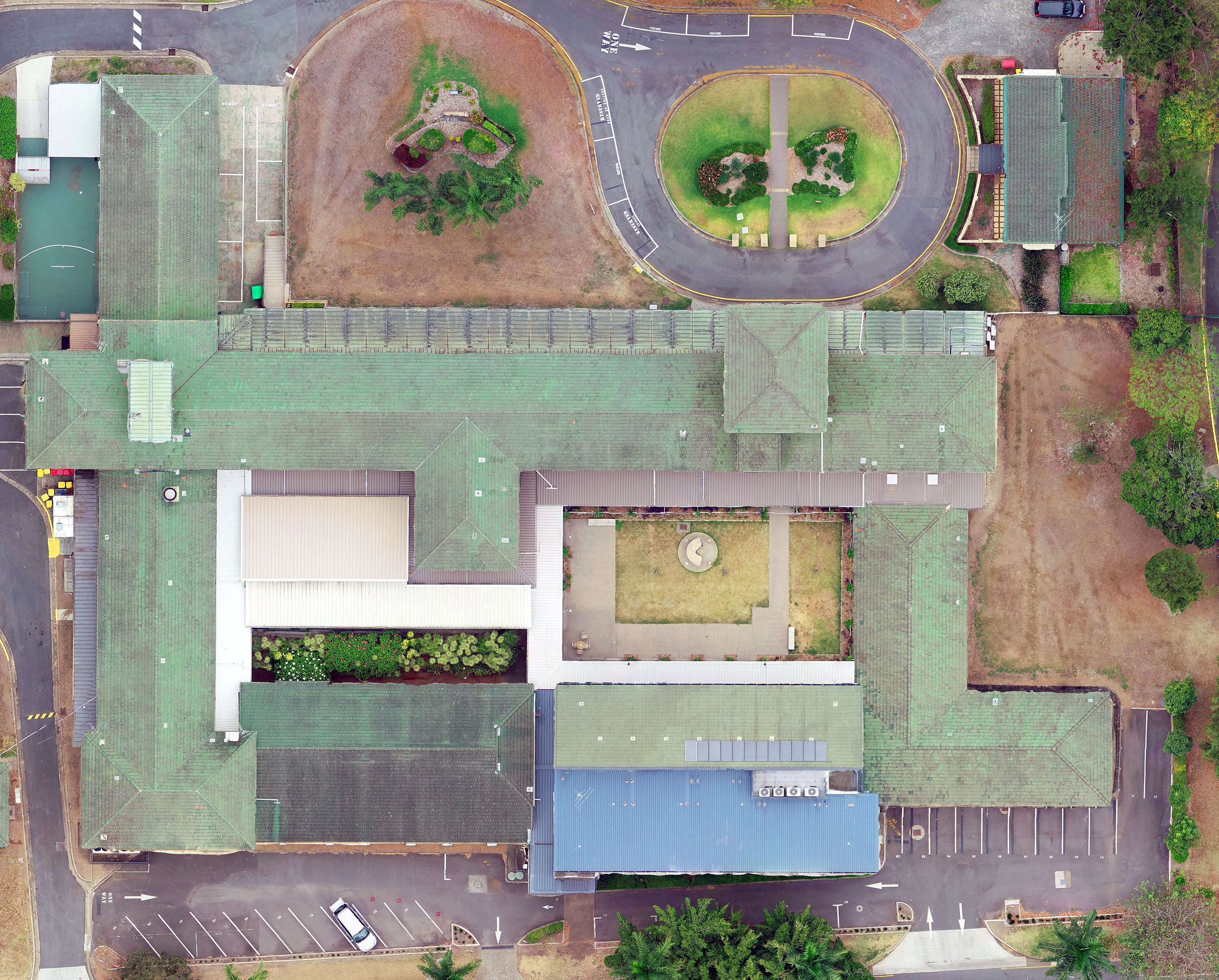
Modern technologies and Measure Australia eliminate every one of these downsides. MA has an extensive drone pilot network, across the country, making us cost-effectively local to virtually all work sites. With the imagery they capture, we prepare condition reports (which can be professionally certified if required), with an enduring and easily accessible output that has full site-wide context. Our solution makes it as simple as swiping to review the current status versus some prior period.
Property inspections with MA include:
- Structural integrity; evaluating rooves, gutters, windows, and building facades.
- Drone pilot collects high-resolution imagery that is stitched to a 3D model digital twin
- MA provides a condition report within the digital twin
- The condition report can be engineer certified if required
- Height safety requirements; to even evaluate structural integrity you require appropriate and compliant height safety infrastructure on buildings
- Using the same imagery captured above
- MA provides a condition report of height safety infrastructure
- Conditions can be certified by height safety professionals
- Thermal imaging assessment; this has been impractical to do with traditional means
- Capture thermal sensor imagery via drone
- Provide a report of where energy is leaking from the building
- Provide a report of micro-leaks that are impossible to pick up visually
- Provide a report on solar panel condition (many buildings now have solar panels installed)
The above is delivered:
In a timely manner
Cost efficiently
Eliminating safety issues
With full context and clarity
Get started today! Contact MA to scope a solution to improve your portfolio management.