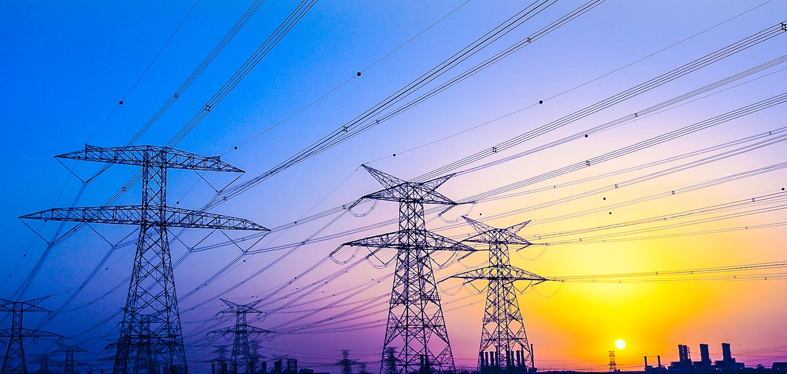
The Legacy of 'Black Saturday'
In February 2009 Victoria experienced a series of bushfires that are now recognised as being among the most destructive fires of their type in Australia's history. 450,000 hectares of bush were razed, 173 lives were lost, and over 2000 houses were destroyed over the course of a single 6-week period. They live on in history as the "Black Saturday" bushfires and have left an indelible stamp on the nations psyche and raised many questions of accountability.
The subsequent inquiry into the disaster identified the network of above ground power lines, that criss-cross the state, as being one of the most significant ignition sources (sparks) for the fires. The recommendations of the inquiry were to move the cabling underground where possible, and to upgrade the inspection protocols of those power lines where this was not possible. Visual inspections of power lines are now required every 1–2 years and more detailed inspections are required every 3–5 years.
Power line inspection - using traditional methods - is a costly, and time-consuming process that requires significant manpower expenditure. Many of the danger areas are remote and can be difficult to access and are often located in harsh physical environments. Inspecting a power line network is dangerous and often requires the use of elevated work platforms, specialised scaffolding, harnesses, and abseiling. An alternative method developed in an attempt to meet these new legal requirements is helicopter inspection, but it too is expensive and dangerous. No sane asset inspector would consider hanging out of a helicopter door with a GoPro attached to their helmet to be a good idea!
What if there was a simple, cost effective, and SAFE alternative to this?
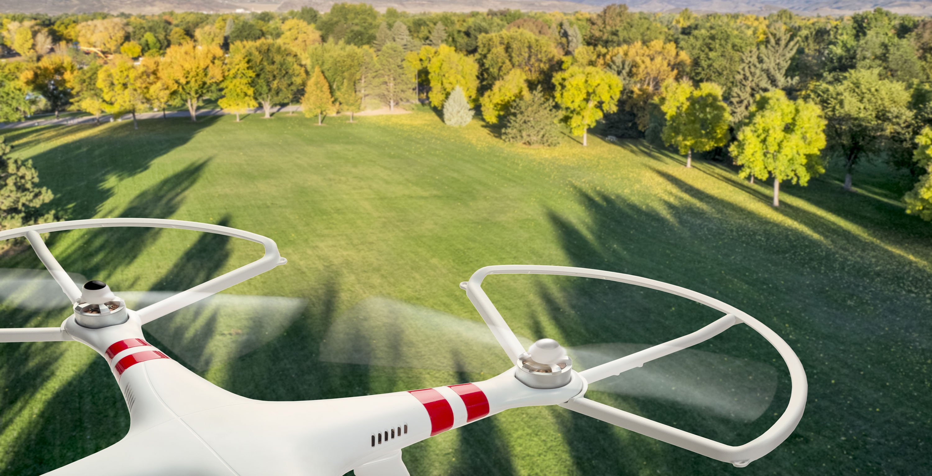
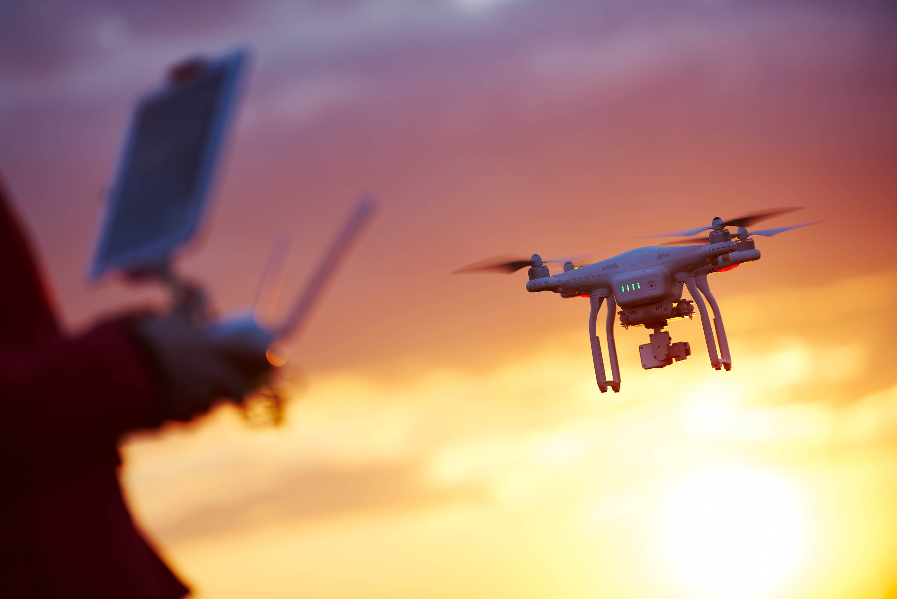
The Age of Drone Inspection is Here.
With the high amount of these kinds of infrastructure already existing across Australia, drones have become an ideal tool to complete these routine inspections – not only inspections of power lines, but of similar large-scale linear assets such as telco towers, windmill farms, and railroads as well. With the assistance of a team of crack drone pilots and data capture experts, optimal and complete high-resolution detail can be easily acquired by drone, and then stored, managed, and delivered to the client.
Measure Australia is a company experienced in operating drones to gather data on inspection assets. We use high quality imaging technology such as LiDAR, and then process and distribute the collected data through our intelligent platform. High quality 3D models can be created and used as the basis of agile digital twins, thereby simplifying inspection and enabling fast and easy comparison over different timestamps. By working closely with MA, any organisation operating and managing large linear networks such as power lines, and telco networks can develop and customise their own inspection modelling structure or digital twin.
These are some of the practical advantages of using inspection drones:
Safety
Remotely operating a drone from the ground is many times safer than sending an inspector up onto a tower. It entirely eliminates the inherent danger of work at heights.
Speed
A drone, controlled by a qualified pilot, can inspect a site quicker than a person can. Drones move faster and can optimally position themselves without fuss.
A small bridge would typically require a team of people a day to inspect, and would likely be done during the day due to light. Drone data capture can be completed within an hour or so in the middle of the night to avoid interruptions to traffic.
Thoroughness
Large amounts of data can be captured and processed quickly by a relatively small team. Drones can also easily cover the many point assets that make up the principle asset. Drone capture supplies a complete data set of each point asset without missing a beat, whereas traditional inspections typically provide one or two close-up photographs of identified issues - reviewers have little context to improve their decision-making.
Data supplied by the drone can then be used to create 3D models of the towers, or the power lines, or model any intruding bush or wildlife interference that may be about to adversely affect the network. Building the 3D model provides the foundation of a digital twin - so part numbers and smaller details such as asset serial numbers can also be checked or acquired.
Cost
Liability insurance, elevated work platforms (EWPs), the training of inspection workers, injury claims, and the ongoing costs involved with the inspections themselves are significant. Drones are fast, have lower liability, easier replaceability, and can reduce insurance costs significantly.
Identifying Hazards
Identifying hazards such as damaged infrastructure, beehives, bird nests, and encroaching bush is crucial. Drones can do this quickly and easily, and MA's platform lets any future analyst check different captures of a site to see how hazards change over time.
The Next Step
MA routinely uses drones to capture high quality, high definition imagery from around Australia at very little cost, , MA opens up the vast and often remote stretches of rural Australia that have been traditionally difficult to reach and service. By using the extended capabilities MA's qualified for with CASA, it becomes a logistically simple and very safe method - particularly when compared to the human risk and cost involved in chartering helicopters or sending people up to heights to interact with high-voltage equipment lines.
By then adding the capabilities of Asseti to process the captured data, an enduring and ongoing record is created which is then used to automatically identify any issues and to prioritise resolution. Asset managers can even slide between data from different time periods to visually assess change over time. It's a logical change to make.
See more about asset inspection or contact us to scope and quote a solution for you.