 LiDAR for construction
Safety and efficiency are of the utmost importance in the planning and administration of every...
Read more
LiDAR for construction
Safety and efficiency are of the utmost importance in the planning and administration of every...
Read more
Measure Australia News
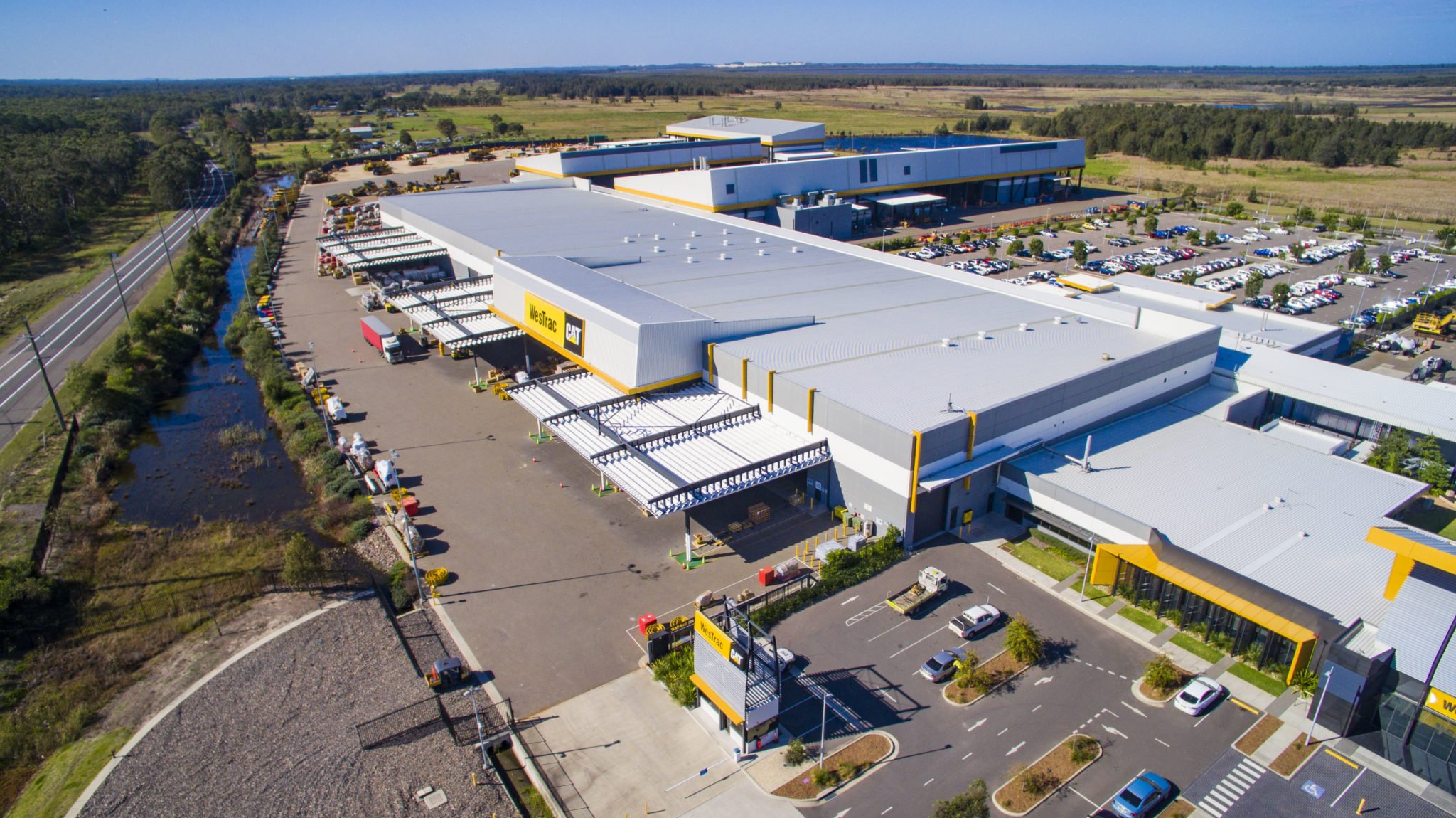
LiDAR for construction
Safety and efficiency are of the utmost importance in the planning and administration of every...
Read more
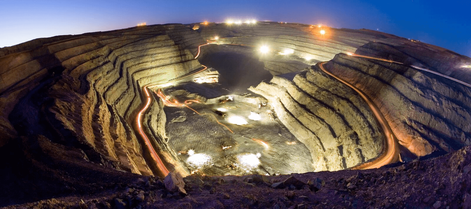 Drone services expand in Australian mining
Traditional practices in mine monitoring and surveying are being revolutionised by the latest...
Read more
Drone services expand in Australian mining
Traditional practices in mine monitoring and surveying are being revolutionised by the latest...
Read more
 Precision vs Accuracy in LiDAR Laser Surveying
A topic of frequent discussion in the survey industry is the relationship between precision and...
Read more
Precision vs Accuracy in LiDAR Laser Surveying
A topic of frequent discussion in the survey industry is the relationship between precision and...
Read more
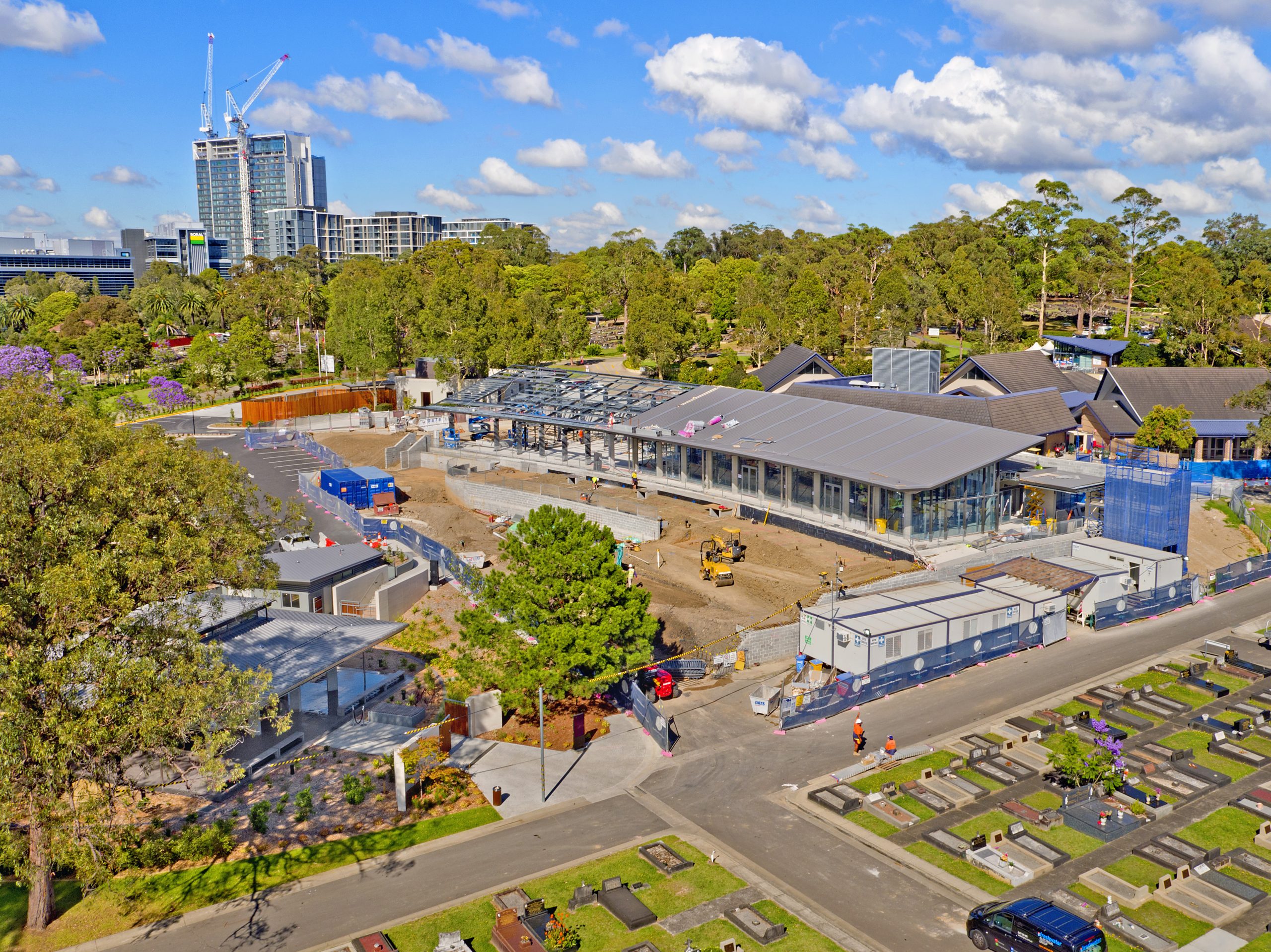 A Birds-Eye View at the Construction Site
Drones Provide Data to Keep Construction Projects on Track When it’s critical to verify...
Read more
A Birds-Eye View at the Construction Site
Drones Provide Data to Keep Construction Projects on Track When it’s critical to verify...
Read more
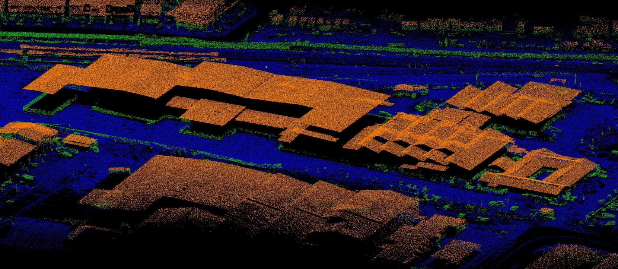
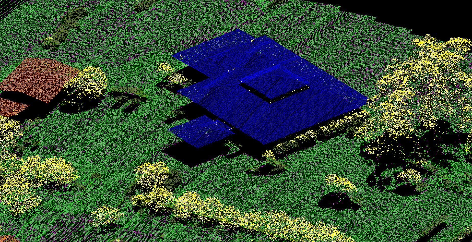
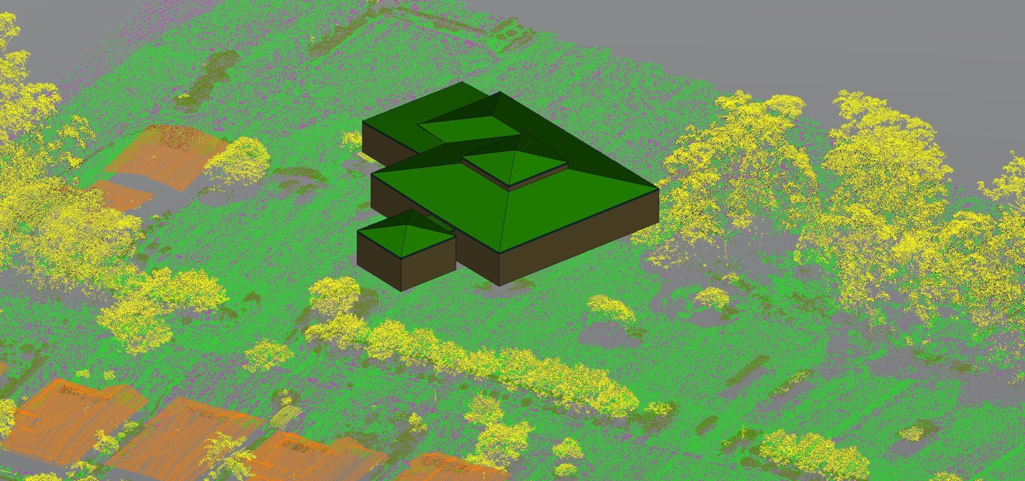 Creating Buildings from Aerial LiDAR
Surveyors, Investors, contractors, architects, and real estate agents often turn to LiDAR to...
Read more
Creating Buildings from Aerial LiDAR
Surveyors, Investors, contractors, architects, and real estate agents often turn to LiDAR to...
Read more
 Online Asset Management for Remote Infrastructure
Sharpen Your Asset Portfolio with High-Quality Information From dangerous heights and hazardous...
Read more
Online Asset Management for Remote Infrastructure
Sharpen Your Asset Portfolio with High-Quality Information From dangerous heights and hazardous...
Read more
 The Effects of Environmental Conditions on Drone-based LiDAR
Applications for drone technology have been increasing substantially in recent years. One of these...
Read more
The Effects of Environmental Conditions on Drone-based LiDAR
Applications for drone technology have been increasing substantially in recent years. One of these...
Read more
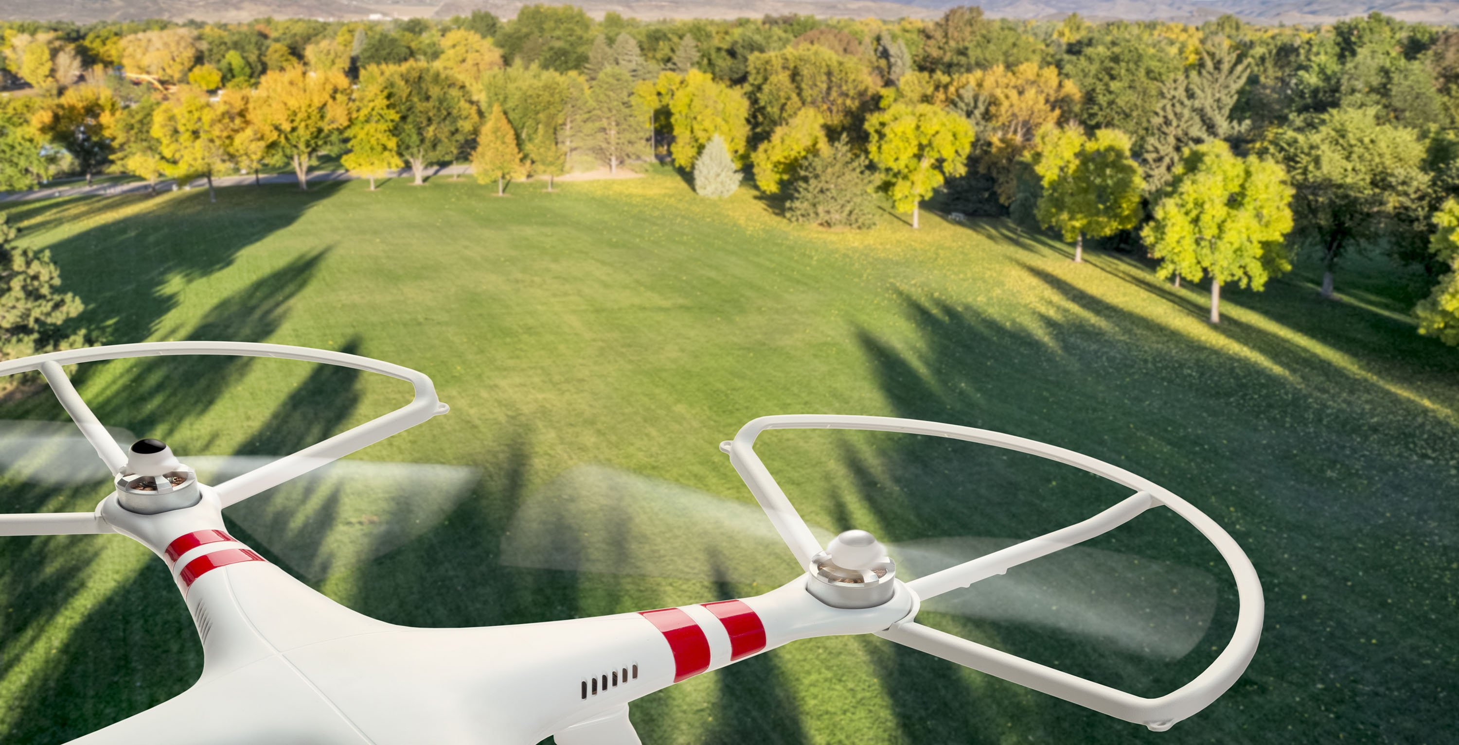
 The Cost-Saving Capabilities of Drones
In the era of social distancing, countless industries have been turned upside down. Companies...
Read more
The Cost-Saving Capabilities of Drones
In the era of social distancing, countless industries have been turned upside down. Companies...
Read more
 LiDAR vs Photogrammetry
Introduction Drones and UAVs are incredibly useful in many areas that require mapping and...
Read more
LiDAR vs Photogrammetry
Introduction Drones and UAVs are incredibly useful in many areas that require mapping and...
Read more
 Measure Australia Launches NEW Riegl Mapping System
Measure Australia is pleased to share that we have added another LiDAR laser survey system to our...
Read more
Measure Australia Launches NEW Riegl Mapping System
Measure Australia is pleased to share that we have added another LiDAR laser survey system to our...
Read more
 Adding Value to Surveyors With Drones
Drones have broad applications across a variety of industries with significant improvements to...
Read more
Adding Value to Surveyors With Drones
Drones have broad applications across a variety of industries with significant improvements to...
Read more
 The Benefits of Drones in Commercial Real Estate
Drones and other unmanned systems have become increasingly popular in recent years, both...
Read more
The Benefits of Drones in Commercial Real Estate
Drones and other unmanned systems have become increasingly popular in recent years, both...
Read more