Measure Australia

Main menu

  • Services
    • LiDAR Laser Surveying Accurate and precise data capture
    • Drone Asset, Building & Roof Inspections Optimise asset value and lifecycle
    • Beyond Visual Line of Sight - BVLOS Capture data Beyond Visual Line of Sight
    • Drone Aerial Mapping & Land Surveying Avoid hazardous locations and arduous environments
    View All Services
  • Industries
    • Agriculture Quantify crop health, manage water stress, & create spraying & application prescriptions, uploadable to smart equipment.
    • Resources Manage extraction volumes, quantify stockpiles & monitor change through 3D site measurements & periodic pickups.
    • Insurance Reduce time for assessments & payouts through technological advancements, quality service including meeting all time-to-site requirements, & maintain records.
    • Construction Comprehensive drone data solutions reduce risks to construction companies through auditable & defensible visual records.
    • Infrastructure Engineered data & specialist reports allow whole-of-asset management, reducing operating costs & increasing efficiencies.
    • Property Improve property management operations and decrease cost for better portfolio management and performance optimisation.
    View All Industries
  • Case Studies
    • Snowy Hydro finds a better way to protect critical infrastructure Snowy Hydro, one of Australia's most iconic hydro-electric networks, transformed its infrastructure protection strategy by adopting drone-based LiDAR technology. Partnering with Measure Australia and Asseti, Snowy Hydro enhanced safety, improved data accuracy, and streamlined vegetation management—eliminating the risks and costs associated with helicopter inspections.
    • Solar power plant audit, with LiDAR, thermal imagery and visual inspection - built into a digital twin Solar Power Plant Operator
    • One model built from the LiDAR point cloud for the Sackville project CitiSurv Land Surveyors
    • LiDAR of the Murray River basin, Australia - credit to Geoscience Australia Shellharbour City Council
    View All Case Studies
  • About
  • News
Contact Us
1300 200 014

Measure Australia News

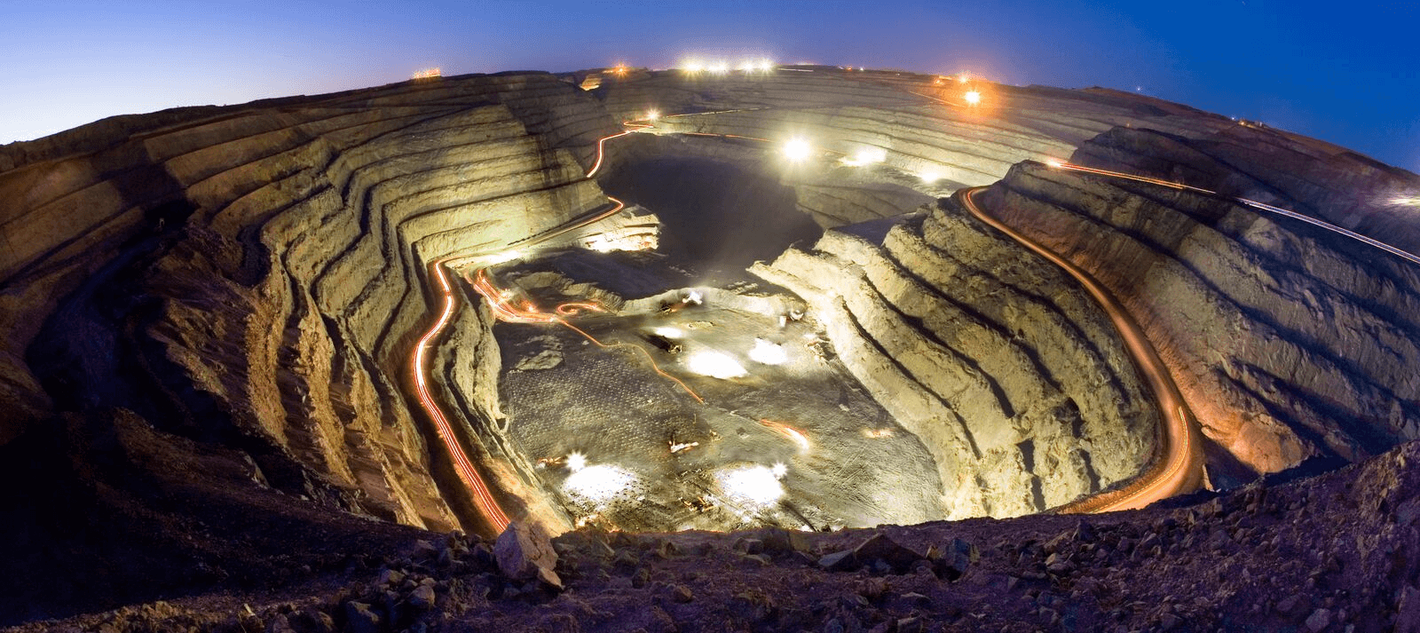
Drone services expand in Australian mining Traditional practices in mine monitoring and surveying are being revolutionised by the latest... Read more
Focus on Mining Drones are having their moment in mining data collection It will not shock readers that Measure... Read more
Sensors and sensitivity: drone sensor payloads used at mine sites Sensor payloads used frequently - and some used far less frequently - in mining applications... Read more
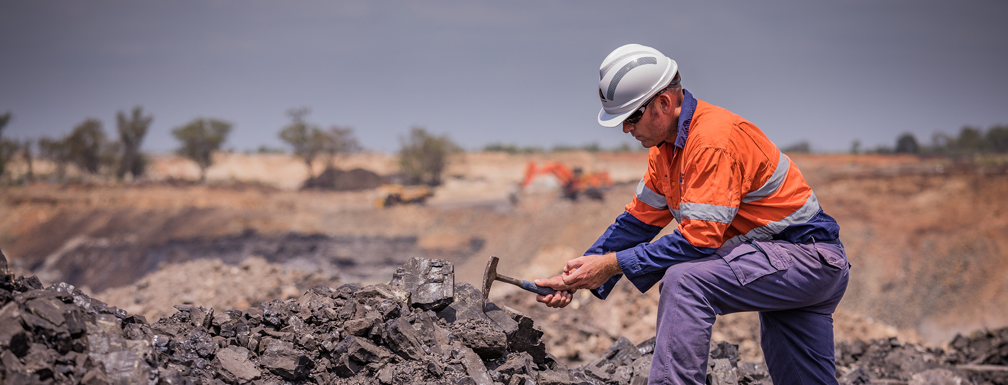
Drones in mineral exploration: no longer exclusive to the few Adoption of drones in the mining space has accelerated but remained relatively limited in... Read more
Measure Australia
Spatial data is powerful. Begin your journey today. 
Talk to us now
Get service updates
  • About
    • Case Studies
    • News
    • LiDAR Sample Datasets
    • Contact & Support
    • Careers
    • Become a Pilot
  • Services
    • LiDAR Laser Surveying
    • Drone Asset, Building & Roof Inspections
    • Beyond Visual Line of Sight - BVLOS
    • Drone Aerial Mapping & Land Surveying
  • Industries
    • Agriculture
    • Resources
    • Insurance
    • Construction
    • Infrastructure
    • Property
© 2025 All rights reserved.
  • An Asseti Company
  • Terms of Use
  • Privacy Policy
  • Tel 1300 200 014
Follow us on Facebook Follow us on LinkedIn Follow us on Twitter
Measure Australia
Sign In
Don't have an account? Register now.
Rest Password
Measure Australia
Create Your Account
Already have an account? Sign In.
Measure Australia
Forgot your password?
Tell us your email address, and we'll get you back on track in no time.
Back to sign in
Check your inbox for reset instructions, and pick a fresh new password
Back to sign in