Few technologies have evolved faster than that of unmanned aerial vehicles and drones in recent years. From consumer gadgets to military weapons, drones fill a wide range of applications in a new, useful and inexpensive way. Military uses aside, the future of Beyond Visual Line of Sight (BVLOS) drone usage is undoubtedly immense. There are a variety of ways that drones can entirely transform some applications that traditionally were costly and inefficient.
In Australia, currently, drones can only be used within Visual Line of Sight, which essentially means you need to see it to use it. Visual Line of Sight is an adequate system for the hobbyist and in developing airspace. However, it is currently restrictive to the professional industry. This decision will change eventually because of the potential positive impacts that BVLOS will have in many sectors.
Long Distance Inspection
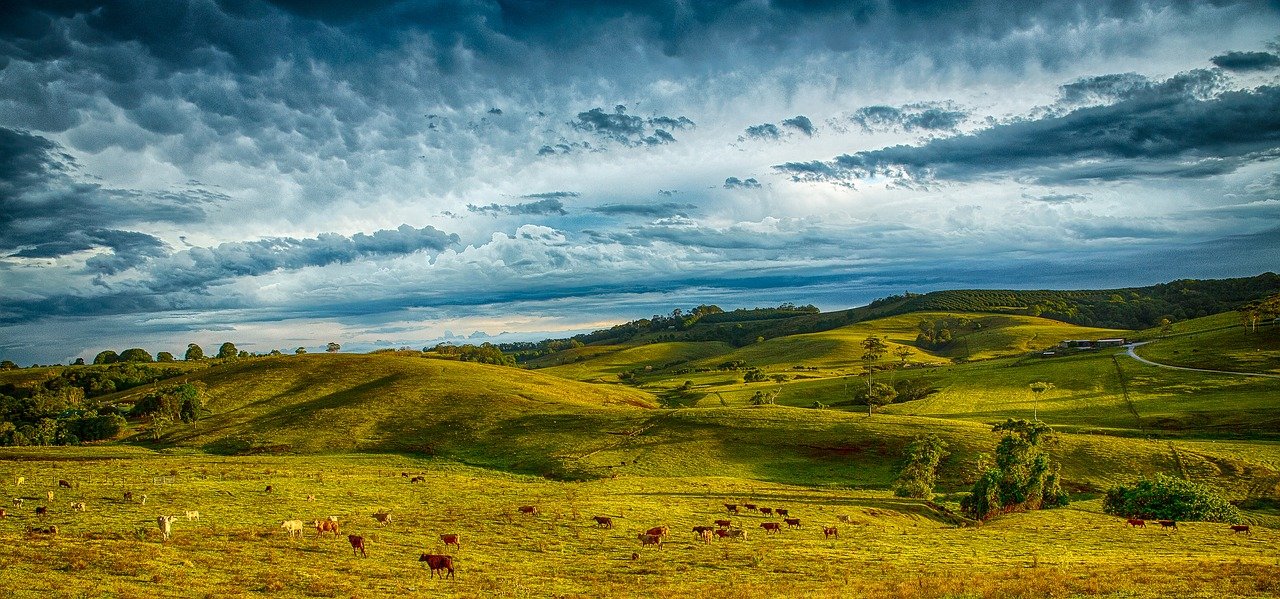
One of the benefits of BVLOS is long distance inspection. There are hundreds of thousands of kilometres of critical pipelines and powerline in the world. These resources carry valuable commodities such as electricity, water, oil and gas. Traditionally, this infrastructure is inspected by manual workers, often spending weeks travelling along the distance, looking for faults, gathering information and sending it back to an engineer to assess before being dispatched back to the location to fix the issue. This method is slow and expensive.
BVLOS drones can perform this task faster, and much more cheaply. This process is undertaken by removing the need to have people travel the stretches looking for faults. A vast country like Australia has immense expanses of land, and by having BVLOS, any form of remote inspection task could be made more efficient using a drone. Power lines, railroad tracks, and even crops can be inspected remotely using a BVLOS drone.
Rapid Response Applications
There are specific time-critical applications where the rapid deployment of drones already cut down response times considerably. For example, emergency search and rescue. Preparing a rescue team for departure, and then manually searching an area is an extremely time-consuming task. Moreover, a job which if not completed quickly enough, could result in death for the person that is in need of rescue. Measure Australia already utilises thermography, which can be used in search and rescue but only within line of sight.
A drone can be in the air and be searching an impacted or disaster area within minutes. Once the person in need of rescue is located, the most appropriate rescue vehicle can be dispatched. The advantage to BVLOS in this situation is the ability for more space to be covered in a shorter amount of time. This difference could mean life or death.
Long Duration High Altitude Applications
Millions of dollars are spent every year on aerial surveying and mapping tasks. Keeping even a light aircraft in the air for extended periods, and equipping it with modern mapping technology is expensive. Measure Australia has been able to replace these traditional aircrafts with a drone equipt with survey-grade LiDAR systems. Having the ability to fly BVLOS is essential when working in mountainous areas because of the high ranges of a mountain make it common to lose sight.
Once beyond visual line of site drone technology matures to a level where it is efficient, reliable and accurate, then the sky is quite literally the limit. The number of applications that BVLOS drones could be used for will only grow in number, as this technology enables us to perform tasks that would otherwise be physically impossible, or prohibitively expensive. Measure Australia is a the forefront of this advancement.