New technologies assist surveyors to safely get data from hard-to-reach locations & increase productivity
A relatively small group of professionals nationwide, surveyors are critically important to Australia’s top sectors. Mining and construction account for 20% of Australian economic activity between them, and mining accounts for 63% of exports – neither of these can go ahead without surveyors. Consulting Surveyors National reported 12,054 Australian surveying and geospatial professionals in 2018, 87% of whom worked full time. In a country of 24.5 million people, that is a small cadre to have 63% of exports and 20% economic activity contingent on.
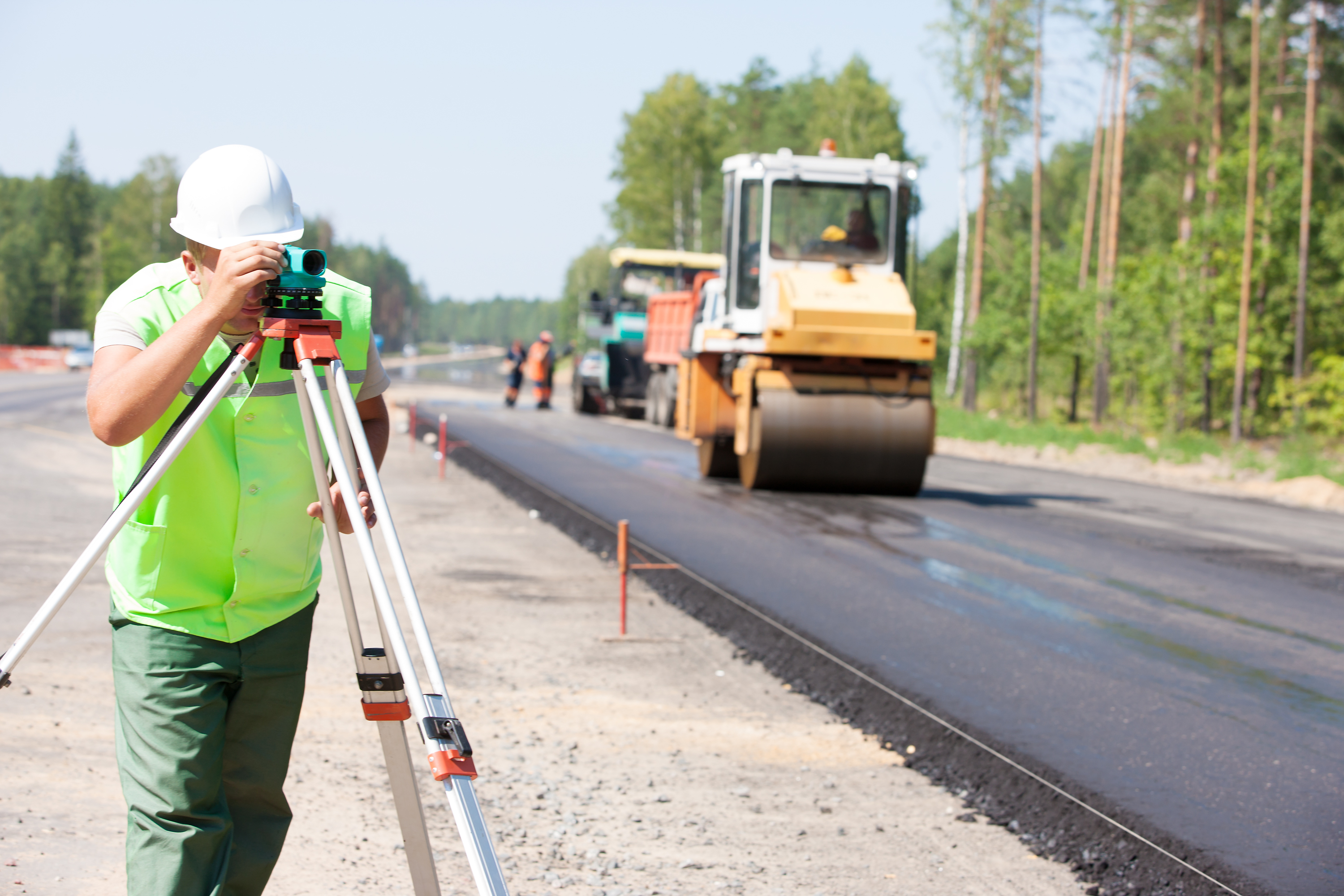
This small vital group of geospatial professionals is generally experienced in fieldwork and have experienced the arduous conditions Australia can throw your way. Rough terrain can be a huge hindrance to land surveying, mineral exploration and resource infrastructure surveying – oil and gas pipelines, for example, stretch hundreds of kilometres through the outback. Gathering data in those areas is time-consuming and frequently dangerous, due to Australia’s conditions and critters. Conditions like this can frustrate surveyors and project timelines.
Even if economic softness or instability affects construction, and mineral exploration is affected as well, a shortage of surveyors and geospatial professionals will remain an issue in Australia (and worldwide).
Some surveyors we work with are meeting this head-on, as an opportunity.
Emerging technology has changed the way some surveyors and geospatial professionals operate. A key element is using these new technologies to increase the speed with which surveys are conducted, even over vast distances and in challenging locations. Leaning on remote data capture, new technologies we discuss enable faster data capture without sacrificing accuracy. They also deliver high resolution output – meaning surveyors can deliver a denser dataset than previously, which enables granular analysis. Surveyors that have adopted these technologies are able to deliver significantly more projects, with higher resolution, without putting themselves in harm’s way in remote or challenging terrain.
Unmanned Aerial Systems or drones
Unmanned aerial systems (UAS), unmanned aerial vehicles (UAVs) or more commonly just ‘drones’ are a an option for remote data capture that delivers a far higher resolution result than achieved by fixed wing capture (aeroplanes or helicopter). This is because drones can fly closer to the ground and also because of the strides in miniaturisation and materials technologies made in recent years. Drones offer clear benefits to those surveyors open to adopting them – such as flying over the terrain that you otherwise would have slogged through, and covering distances in a day that could have taken a week or more.
Aerial mapping in the 19th century?!
Aerial data collection isn’t new. The earliest record is of French photographer and balloonist Gaspar Felix Tournachon’s 1855 patent for using aerial photography in mapping and surveying – thank goodness that patent expired! Aerial mapping was quite entrenched as a technology and indeed in the 20th century, there’s some suggestion that aerial mapping ‘overshadowed’ military applications and advancements in the inter-war period.
Aerial mapping in Australia
In modern times, aeroplanes have conducted Australian aerial surveys – the Spatial Collaboration Portal from the NSW Government offers access to aerial photography dating back to the 1930s, with similar services from the Victorian government and Geoscience Australia.
Drones as a game-changer
Drones are a game-changer to the field. Why? Because of the resolution they can capture and the pinpoint geospatially tagged accuracy of the data, neither of which is possible from manned flights at this time.
Materials, battery and data advances now enable drones to fly longer distances, including Beyond Visual Line of Sight (BVLOS), and capture required visual and geospatial data. This means that surveyors can avoid entering the field at all. In this way drone data capture in creasing the safety and velocity of survey output and enabling surveyors that adopt the technology to process more projects.
Drone mounted cameras and sensors including LiDAR
It is impossible to overstate recent advances in drone-mount sensors. Miniaturisation technology and materials advances have made these devices both better and less costly. High-end LiDAR sensors remain expensive, but they’ve also advanced dramatically to enable drone-mounting. Therefore drones are able to quickly relay extremely detailed and accurate data back to surveyors in an office setting, where they can begin to use those images to complete their work. Using LiDAR means fewer on-the-ground scans are needed, so surveyors can spend less time spend traversing arduous terrain.
LiDAR technology is particularly suited to capturing surface detail where dense ground vegetation exists, and can be used to deliver scans accurate to 35mm or better.